 The Aosta Trip
Colle Palasinaz
Col de Palasinaz
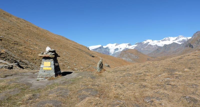
It looks down from above on the Palasinaz lakes: Battaglia, Verde and Couloir
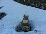
The pass opens between Punta Palasinaz and Punta del Lago, on the boundary between Brusson and Ayas. The two sides are different: broad pastures towards Estoul, a harsher valley towards Mascognaz. Below, to the south, are the Palasinaz lakes; to the north you can see the peaks of Monte Rosa.

Trails
- from Strada per Estoul (1,884 m) · ↑ 797 m · 2 h 45 min out, 1 h 51 min back · 6.1 km · E Hike · path 5 - 4 · June, July, August, September
- from Champoluc (1,560 m) · ↑ 1,115 m · 3 h 30 min out, 2 h 15 min back · 6.9 km · E Hike · path 14 · June, July, August, September
- from La Manda (1,493 m) · ↑ 1,186 m · 3 h 41 min out, 2 h 21 min back · 6.9 km · E Hike · path 4 · June, July, August, September
Trails: data provided by the Struttura Forestazione e Sentieristica of the Aosta Valley Autonomous Region.
History
Path 3D runs along the ridge of the pass: to the west it leads to Corno Bussola, to the east a section opened in 2013 heads towards Corno Vitello.
Nearby
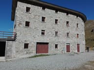 Rifugio ArpOn a plateau with 12 alpine lakes, almost all a few minutes' walk from the hut
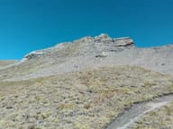 Corno BussolaOn the summit, a metal cross almost 3 metres high, made of 24 cubic sections
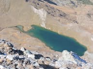 Lago PerrinFills the basin of a vanished glacier, below the face of Monte Perrin
 Colle PinterWalser pass between Ayas and Gressoney for grain and livestock; the Alta Via 1 crosses it
- Brusson, EstoulSunny runs in the hamlet of Estoul, above Brusson: 9 runs, none of them black
- MascognazWalser village recorded since 1323, with rascards and the chapel of San Grato; waterfall below