 The Aosta Trip
Eve Verda (Green Waters)
Eaux vertes
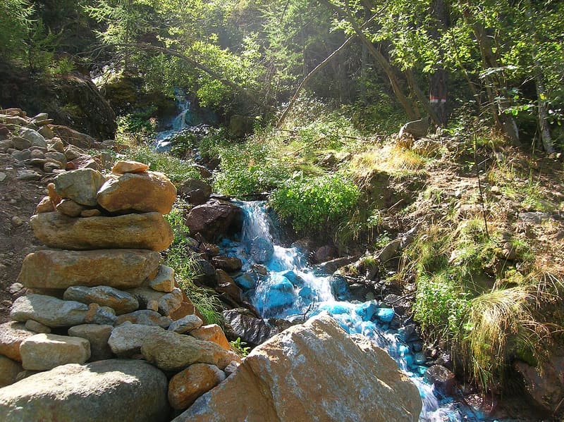
The stream bed is covered by a turquoise copper deposit, described as early as 1749
A few hundred metres below the ruins of Chuc, the path crosses a small stream that for about 150 metres flows over stones and moss covered by a turquoise deposit. The colour changes with the season: in summer it is blue-green, in winter it tends towards white. Along the ascent you can see the remains of the mines, the pylons of the cableway and a few small waterfalls; near the spring there is a small cave.

Visiting
You start from the sanctuary of Plout (942 m), above Saint-Marcel on the road to Les Druges. The official route description goes briefly down the road below the village, takes the dirt track of path 3C on the right and continues on path 4, which crosses the stream several times: 3.3 km, 431 m of ascent, about an hour out. The path in the regional trail register (13-4), on the other hand, starts from Seissogne, 400 m from the Plout car park. Difficulty E, from April to October; you return the same way. The colour is more intense in summer, when the water from the mine flows.
Trails
- from Seissogne (1,076 m) · ↑ 297 m · 1 h 40 min out, 1 h 11 min back · 3.9 km · E Hike · path 13 - 4 · June–September
Trails: data provided by the Struttura Forestazione e Sentieristica of the Aosta Valley Autonomous Region.
History
In September 1749 the deputy bailiff Joseph Rambert was sent to investigate the protests of the inhabitants of Saint-Marcel against the operators of a copper mine, who were accused of polluting the water and air and of ruining crops and grape harvests. Rambert described a greenish, foul-smelling stream that left a green sediment; some witnesses said it had appeared after the tunnels were dug. Charles Emmanuel III then banned the processing of the ore from May to August. The vineyards recovered; the green deposit did not go away: it still forms today.
Saint-Martin de La Motte, of the Academy of Sciences of Turin, found copper in it (1784–85). Horace-Bénédict de Saussure went up to the stream on 20 August 1792 and published the first chemical analysis of it in Voyages dans les Alpes (1796): 19% copper, 33% silica. In the nineteenth century Bertrand de Lom believed it to be a new mineral and called it ‘calcogelide’; Delesse concluded that it was a mixture. In 1903 it was noted that the deposit originates at the confluence of two brooks and that it changes with the seasons.
There are two mines above the stream. Servette, on the right side of the valley between 1,720 and 1,850 m, produced pyrite and chalcopyrite, and millstones. Cavaliere Nicolis de Robilant recognised Roman-type workings there; the charcoal in the slag, radiocarbon-dated, points to smelting at least from the early Middle Ages. Mining resumed several times in the eighteenth century and was more intense in the twentieth century. Chuc, on the left side between 1,283 and 1,443 m, was opened in the eighteenth century.
Today it is known that the water of the Ribasso tunnel, at 1,789 m, is acidic (pH about 3) and rich in copper and sulphates, and flows only in summer; the perennial spring is alkaline (pH 8). As they mix, the former makes hydrowoodwardite, a hydrated sulphate of copper and aluminium, precipitate. In winter the frost stops the mine water and the deposit turns white. In October 2000 a flood wiped it out completely; it reappeared in the following months.
Nearby
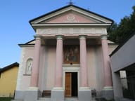 Plout SanctuaryA Greek-cross sanctuary of 1851, with the wooden statue of the Virgin donated in 1744
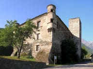 Saint-Marcel CastleIt stands on the road to the valley of the old iron, copper and manganese mines
 Bivacco MénabréazFormer Beck Peccoz hunting lodge on the shore of the first of the three Laures lakes
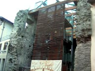 Pilate's CastleTwo corner turrets and three of the four perimeter walls in exposed stone remain
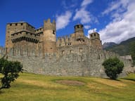 Fénis CastleIn the courtyard, a semicircular staircase beneath the fresco of St George and the Dragon
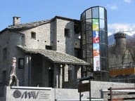 MAV - Museum of Traditional Aosta Valley CraftsThe more than 500 works of the Brocherel collection open the route, in the Memory room