 The Aosta Trip
Colle Superiore delle Cime Bianche
Col supérieur des Cimes Blanches
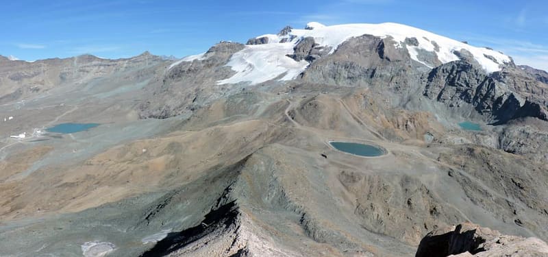
Pass on the Tour del Monte Rosa, above Gran Lago delle Cime Bianche (2,805 m)
The pass separates the Monte Rosa massif, to the north, from the ridge that culminates in the Grand Tournalin. Coming from Ayas you have the Matterhorn, the Grandes Murailles and the head of the Valtournenche in front of you; behind you is Gran Lago, below the Ventina glacier. On the Cervinia side, lifts and service roads come up to it.

Trails
- from Plan Maison (2,543 m) · ↑ 428 m · 1 h 40 min out, 1 h 10 min back · 4.5 km · E Hike · path 36 · July–August
- from Breuil-Cervinia (1,991 m) · ↑ 980 m · 3 h out, 2 h back · 6 km · E Hike · path 16 · June, July, August, September
- from Blanchard (1,731 m) · ↑ 1,256 m · 4 h 5 min out, 2 h 40 min back · 8.4 km · E Hike · path 6 · July, August, September
Trails: data provided by the Struttura Forestazione e Sentieristica of the Aosta Valley Autonomous Region.
History
The Cime Bianche valley, on the Ayas side, is part of the Natura 2000 site ‘Ambienti glaciali del gruppo del Monte Rosa’. Since the first feasibility study in 2015 there has been debate about a cable link between Frachey and the pass, to join the Ayas and Cervinia runs, at an estimated cost of about €200 million.
Nearby
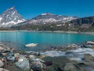 Lago GoilletThe Matterhorn is reflected in a 12-million-cubic-metre reservoir at 2,516 m
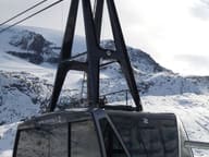 Plateau RosàThree cable cars from Breuil-Cervinia to 3,480 m on the Swiss border, below the Matterhorn
 Western Motta di PlétéOn the summit Big Bench No. 168, since 2021 the highest giant bench in the world
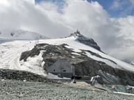 Rifugio TeoduloThere has been a shelter on the pass since 1852; the present CAI Torino building dates from 1920–26
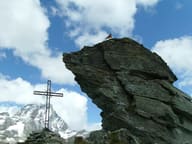 Bec del Pio MerloBelow the summit runs the Tracciolino, the service railway of the Goillet dam
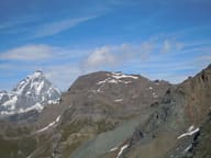 Monte RoisettaTwo peaks: the path reaches the south one (3,324 m), the north one is 10 m higher