 The Aosta Trip
Rifugio Teodulo
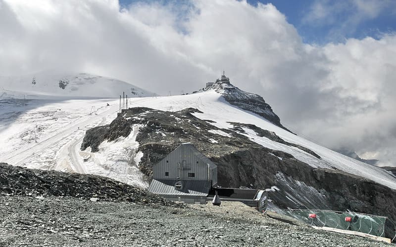
There has been a shelter on the pass since 1852; the present CAI Torino building dates from 1920–26
The hut stands on the Colle del Teodulo, on the border with Switzerland, between the Matterhorn and the Breithorn, along the crossing between Breuil-Cervinia and Zermatt used since Roman times. The panoramic room, added during the 2000–2010 works, looks out on the Matterhorn and the Grandes Murailles. In summer you get there from the Plateau Rosà cable car with a short walk on the glacier.

Visiting
Winter and spring: from 01/12 to 03/05. Summer: from 01/06 to mid-September. 60 beds. From the top of the Plateau Rosà cable car (Testa Grigia): cable car + a section on foot on the glacier (20 min, E-F). From Breuil-Cervinia: on foot, via Plan Maison and the Bontadini Chapel, +1,300 m (4h, path 15 (last section TMR), EE). From Breuil-Cervinia (winter only): Bontadini chairlift, arriving near the hut. Phone: +39 0166 949400.
Trails
- from Breuil-Cervinia (2,008 m) · ↑ 1,322 m · 4 h 20 min out, 2 h 50 min back · 8.6 km · EE Expert · path 15 · June, July, August, September
Trails: data provided by the Struttura Forestazione e Sentieristica of the Aosta Valley Autonomous Region.
History
In 1852 Pierre Antoine Meynet built a stone hut on the pass using the materials of fortifications that had been erected in 1688. The Turin section of the CAI bought the structure in 1915, and between 1920 and 1926 the engineer Giacomo Dumontel Castellano built the present building, then called Rifugio Principe di Piemonte. Between 2000 and 2010 it was renovated and enlarged.
Nearby
 Plateau RosàThree cable cars from Breuil-Cervinia to 3,480 m on the Swiss border, below the Matterhorn
 Colle Superiore delle Cime BianchePass on the Tour del Monte Rosa, above Gran Lago delle Cime Bianche (2,805 m)
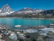 Lago GoilletThe Matterhorn is reflected in a 12-million-cubic-metre reservoir at 2,516 m
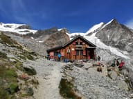 Rifugio Ottorino MezzalamaOn the moraine of the Great Verra Glacier, at 3,036 m, facing Castore and Polluce
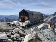 Rifugio Guide Val d'Ayas al LambroneccaOn a rock spur between the Great and the Little Verra Glacier, at 3,425 m
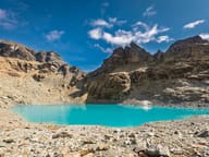 Gran Lago di TzèreTurquoise glacial lake, fed by waterfalls and often still frozen in early summer