 The Aosta Trip
Col Nord de Menouve
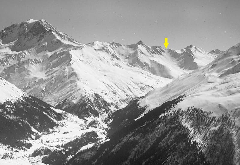
Below the pass a tunnel towards Switzerland was dug in 1856, stopped after about 70 m
The pass is a faint notch west of Mont de Menouve, on the border with Valais. On the Swiss side are the ruins of the top station of the Super Saint-Bernard gondola, at 2,775 m, with scattered wreckage. Beside it rises Mont Vélan; a few minutes away is the Bec Noir viewpoint (2,800 m), reached by a partly collapsed flight of steps.

Trails
- from Prailles (1,565 m) · ↑ 1,218 m · 4 h 17 min out, 2 h 55 min back · 10 km · E Hike · path 20 · Mid-June–September
Trails: data provided by the Struttura Forestazione e Sentieristica of the Aosta Valley Autonomous Region.
History
In 1856 work began on digging a tunnel under the Menouve between the Kingdom of Sardinia and Switzerland, promoted by Canon Georges Carrel and the deputy Laurent Martinet. After about nine months the works stopped because of the costs: on the Aosta Valley side about 70 m had been dug. More than a century later, from 1963 to 11 April 2010, a gondola carried skiers from Bourg-Saint-Bernard up to the pass. In the past the pass was also used to cross into Switzerland.
Nearby
- Bivacco MollineA 16-place bivouac hut, open all year round, at the foot of Mont Vélan (3,710 m)
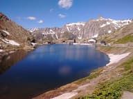 Great St Bernard PassA pass at 2,472 m: in May 1800 Napoleon crossed it with 40,000 men
 Monte PagliettaLarge stone cairn on a knoll above Saint-Oyen, facing Mont Vélan
- Ru de MenouveRu piped under a level dirt track as far as Alpe Ponteille, facing Mont Fallère
- Col Fenêtre de FerretFrom the pass, the Grandes Jorasses and Mont Dolent seen from the east, above the Fenêtre lakes
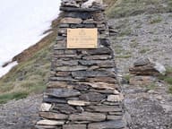 Col ChampillonPass on the Alta Via 1 and the Tor des Géants, with views from Mont Blanc to the Grand Combin