 The Aosta Trip
Col Fenêtre de Ferret
Fenêtre de Ferret
From the pass, the Grandes Jorasses and Mont Dolent seen from the east, above the Fenêtre lakes
The pass is on the border with Switzerland, between the Great St Bernard valley and the upper Swiss Val Ferret. From Baou you climb into an amphitheatre enclosed by Pain de Sucre, Mont Fourchon, Pointe de Drône and Grande Chenalette. From the pass you can see the eastern sector of Mont Blanc, with the Grandes Jorasses and Mont Dolent, and below, the Fenêtre lakes, in Switzerland, about 40 minutes away.

Trails
- from Alpe Baou (2,367 m) · ↑ 344 m · 1 h 1 min out, 35 min back · 1.3 km · E Hike · path 13A · June–September
Trails: data provided by the Struttura Forestazione e Sentieristica of the Aosta Valley Autonomous Region.
History
For the canons of the Great St Bernard Hospice the pass was the route of the caravans that carried firewood to the Hospice. Having found seams of anthracite, in 1840 they obtained the mining concession from the canton of Valais and extracted coal from it until 1911. The Baou alpine pasture served as shelter for the horses and mules used for transport.
Nearby
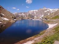 Great St Bernard PassA pass at 2,472 m: in May 1800 Napoleon crossed it with 40,000 men
 Col Nord de MenouveBelow the pass a tunnel towards Switzerland was dug in 1856, stopped after about 70 m
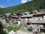 Saint-RhémyFrom 1627 its inhabitants were ‘snow soldiers’ in the service of the Great St Bernard Pass
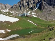 Rifugio Piergiorgio FrassatiBuilt by Operazione Mato Grosso volunteers carrying loads on their backs, 2008 to 2011
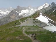 Col du Grand FerretThe highest point of the classic Tour du Mont Blanc, at 2,537 m on the Swiss border
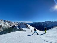 Crévacol20 km of south-facing runs, from 1,640 to 2,450 m above Saint-Rhémy