 The Aosta Trip
Col du Grand Ferret
Grand col Ferret
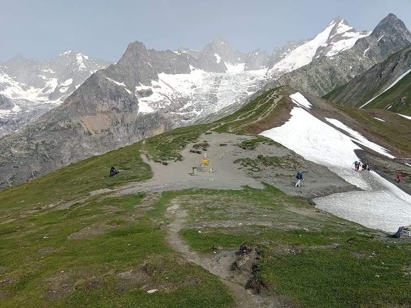
The highest point of the classic Tour du Mont Blanc, at 2,537 m on the Swiss border
From the pass you can see the Pré de Bar glacier, the east face of the Grandes Jorasses and, in the distance, the Val Ferret and the Val Veny as far as the Col de la Seigne. An orientation table helps you identify the peaks. On the other side the Swiss Val Ferret descends towards La Fouly.

Trails
- from Arpnouva (1,770 m) · ↑ 768 m · 2 h 24 min out, 1 h 31 min back · 4.4 km · E Hike · path 25 - TMB · July–September
Trails: data provided by the Struttura Forestazione e Sentieristica of the Aosta Valley Autonomous Region.
History
It is the highest point of the classic Tour du Mont Blanc: only the Fenêtre d'Arpette variant climbs higher, by 128 m. The Tour du Saint-Bernard and the Ultra-Trail du Mont-Blanc also pass through it; the Ultra-Trail reaches it at around the hundredth kilometre.
Nearby
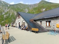 Rifugio ElenaFacing the Pré de Bard glacier, an hour from the Col Ferret and the Swiss border
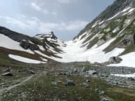 Col du Petit FerretPass on the Swiss border, looking out over the head of Pré de Bar and the upper Val Ferret
- Bivacco Gianni Comino1982 bivouac hut below Mont Greuvetta, overlooking the Triolet basin
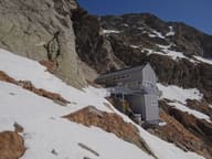 Rifugio Cesare Dalmazzi al TrioletAt the foot of the Triolet glacier, reached with fixed ropes and metal steps
- Col Fenêtre de FerretFrom the pass, the Grandes Jorasses and Mont Dolent seen from the east, above the Fenêtre lakes
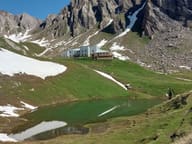 Rifugio Piergiorgio FrassatiBuilt by Operazione Mato Grosso volunteers carrying loads on their backs, 2008 to 2011