 The Aosta Trip
Colle della Mologna Piccola
Col de la Petite Mologne
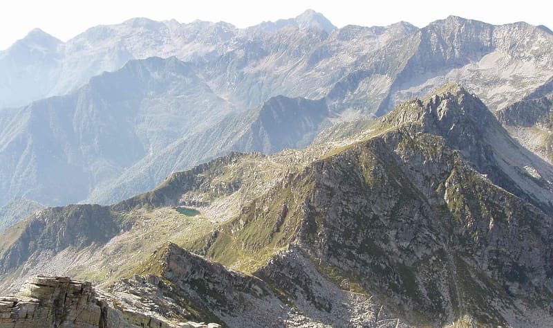
Paved mule track built by the Biella section of the CAI and opened on 9 August 1880
The pass opens between the Gemelli di Mologna and the Punta Serange, on the ridge between the Valle Cervo and the Lys valley. From Niel the mule track climbs through the woods, then becomes paved and enters a small rocky basin before the saddle. Coming out of the woods you can see the middle Gressoney valley. Shortly before the pass a plaque set into a small rock face commemorates those who promoted the road.

Trails
- from Niel (1,551 m) · ↑ 663 m · 2 h 3 min out, 1 h 18 min back · 3.8 km · E Hike · path 6C · June, July, August, September
Trails: data provided by the Struttura Forestazione e Sentieristica of the Aosta Valley Autonomous Region.
History
Before the road from Pont-Saint-Martin to Gressoney, the pass was a well-used crossing between the Biellese and the Lys valley: the shepherds of Niel used it to take their produce to the markets of Andorno and Campiglia. In November 1875 the Biella section of the CAI chose it, instead of the Mologna Grande and the Colle della Vecchia, for a mule track between Piedicavallo and Gressoney. The work, paid for by members, by Piedicavallo municipality and by other donors, began in 1876 and the road was opened on 9 August 1880. The plaque at the pass commemorates, among others, Squindo, Menabrea and Giovanni Magnani.
Nearby
 Colle della Mologna GrandeOn the Biellese side, 15–20 minutes below the pass, there is the Rivetti hut (2,150 m)
 Punta Tre VescoviOn the summit the boundaries of the dioceses of Aosta, Biella and Novara meet
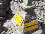 Colle della VecchiaIn the rock two women from the two valleys greet each other: ‘buon giorno, guten tag’ (1877)
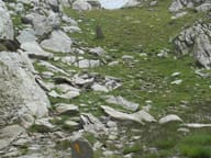 Colle LazoneyPass on stage 5 of the Alta Via 1, from Niel towards the Loo valley and Gressoney
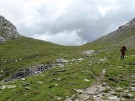 Colle del LooOn the way up you pass Obre Lòò, a Walser alpine pasture with the seventeenth-century chapel of San Lorenzo
- Cascata di NielA 28 m vertical drop of the Niel stream, visible from the village of Gaby