 The Aosta Trip
Colle Lazoney
Col Lazouney
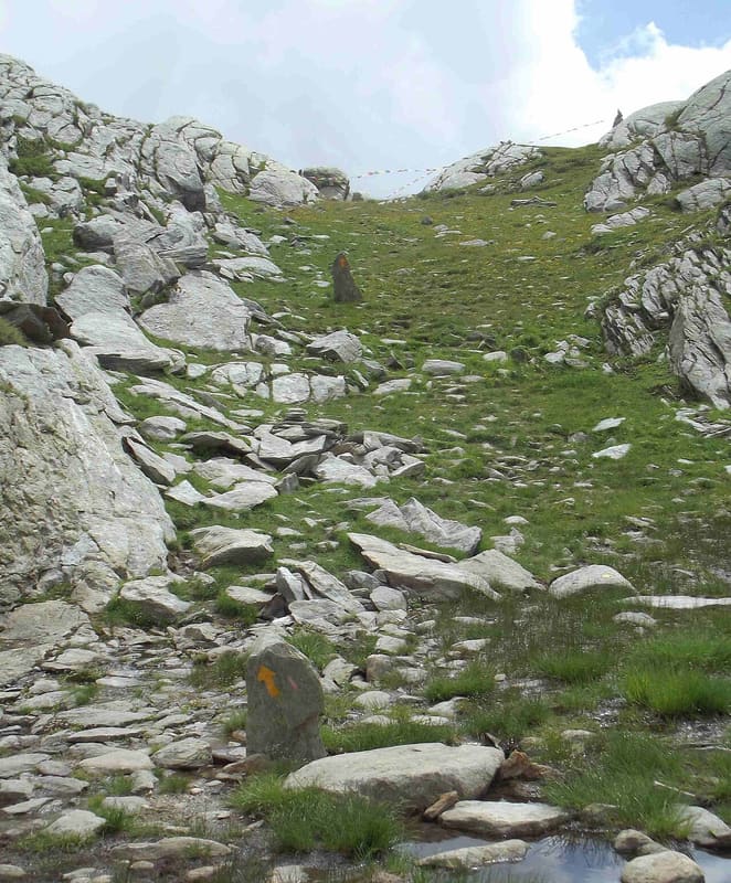
Pass on stage 5 of the Alta Via 1, from Niel towards the Loo valley and Gressoney
The pass opens between Punta Lazoney (2,579 m) to the east and Monte Pianeritz to the west. In photos from 2014 there is a cairn with prayer flags on the pass. Beyond the pass the grassy plateau at the head of the Loo valley opens out, and to the west you can see Mont Nery. In about twenty minutes, following the cairns, you climb to Punta Lazoney.

Trails
- from Niel (1,551 m) · ↑ 850 m · 2 h 32 min out, 1 h 30 min back · 3.6 km · E Hike · path 6 - AV1 · June, July, August, September
- from Loomatto (1,349 m) · ↑ 1,043 m · 3 h 22 min out, 2 h 17 min back · 7.9 km · E Hike · path 12C · June, July, August, September
Trails: data provided by the Struttura Forestazione e Sentieristica of the Aosta Valley Autonomous Region.
History
The name is spelt in two ways, Lazoney and Lazouney; in Walser the pass is called Lasòneycoll. Today stage 5 of the Alta Via 1 crosses it, descending from Niel to Gressoney-Saint-Jean via Obre Lòò and Loomatten.
Nearby
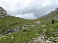 Colle del LooOn the way up you pass Obre Lòò, a Walser alpine pasture with the seventeenth-century chapel of San Lorenzo
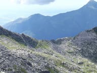 Colle della Mologna GrandeOn the Biellese side, 15–20 minutes below the pass, there is the Rivetti hut (2,150 m)
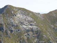 Punta Tre VescoviOn the summit the boundaries of the dioceses of Aosta, Biella and Novara meet
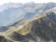 Colle della Mologna PiccolaPaved mule track built by the Biella section of the CAI and opened on 9 August 1880
- Cascata di NielA 28 m vertical drop of the Niel stream, visible from the village of Gaby
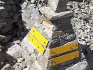 Colle della VecchiaIn the rock two women from the two valleys greet each other: ‘buon giorno, guten tag’ (1877)