 The Aosta Trip
Colle della Vecchia
Col de la Vieille
In the rock two women from the two valleys greet each other: ‘buon giorno, guten tag’ (1877)
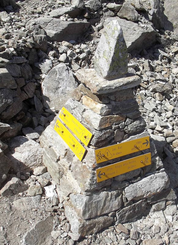
The pass opens between the Punta Caparelle and the Punta della Vecchia, on the border between the Lys valley and the Biellese; a pyramid of stones with waymarks marks the pass. The Alta Via delle Alpi Biellesi passes through it. On the way up you glimpse Mont Nery; beyond the pass, in half an hour, you descend to the Vecchia lake and its hut.

Trails
- from Tzendelabò (1,018 m) · ↑ 1,156 m · 3 h 28 min out, 2 h 12 min back · 6.6 km · E Hike · path 9 · June, July, August, September
Trails: data provided by the Struttura Forestazione e Sentieristica of the Aosta Valley Autonomous Region.
History
The mule track was the initiative of Senator Federico Rosazza and was completed in 1877 to link the Valle Cervo with the Gressoney valley. It has 216 hairpin bends and a gentle gradient, designed for mule trains, with paving about one and a half metres wide. Just below the pass a carving in the rock face shows two young women from the two valleys reaching out their arms to each other; beside it are carved the year and the names of the promoters and of almost forty workers. According to a legend the name comes from a girl who, having lost her fiancé, lived to old age near the lake, in the company of a bear.
Nearby
 Colle della Mologna PiccolaPaved mule track built by the Biella section of the CAI and opened on 9 August 1880
- Cascata di NielA 28 m vertical drop of the Niel stream, visible from the village of Gaby
 Colle della Mologna GrandeOn the Biellese side, 15–20 minutes below the pass, there is the Rivetti hut (2,150 m)
 Colle della GragliascaAt the pass an engraving marks the 7,360 m of mule track climbed from Rosazza, in Valle Cervo
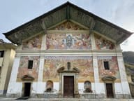 San Giacomo Church in IssimeThe Last Judgement on the façade, from 1698, is the largest in the Aosta Valley
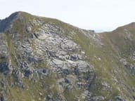 Punta Tre VescoviOn the summit the boundaries of the dioceses of Aosta, Biella and Novara meet