 The Aosta Trip
Rifugio Giorgio Bertone
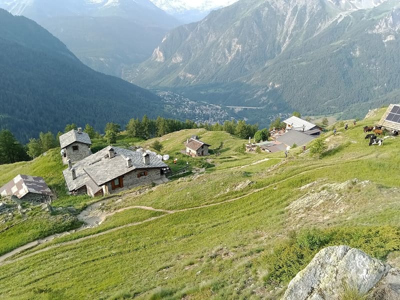
Built in 1982 by Lorenzino Cosson in memory of his friend Giorgio Bertone
It stands on the Mont de la Saxe, north-east of Courmayeur, overlooking the Mont Blanc massif. It is a stop on the Alta Via 1 and the Tour du Mont Blanc. The polenta cooks over a wood fire and the alpine-pasture fontina matures all winter in the hut's cellar.

Visiting
Summer 2026: from 8 June to 20 September. Summer opening only. 60 beds. From Villair Superiore (Courmayeur, 1,325 m): on foot, the steeper path (2h, about 700 m height gain, path 42 (also AV1 and TMB), E). From Planpincieux, Val Ferret (from the bridge after the village): on foot, a balcony path overlooking Mont Blanc (1h30, about 300 m height gain, path 31, E). Phone: +39 347 0325785.
Trails
- from Villair (1,325 m) · ↑ 722 m · 2 h 10 min out, 1 h 19 min back · 3.5 km · E Hike · path 42 - AV1 - TMB · June–October
Trails: data provided by the Struttura Forestazione e Sentieristica of the Aosta Valley Autonomous Region.
History
The hut was built in 1982 by the mountain guide Lorenzino (Renzino) Cosson in memory of his friend Giorgio Bertone, a mountain guide who died in August 1977 in an air accident below the summit of Mont Blanc du Tacul. Together they had made the first Italian ascent of the south-east face of the Nose, on El Capitan in Yosemite. In 2015 a new two-storey dormitory in X-Lam wooden panels was added.
Nearby
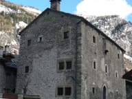 Passerin d'Entrèves Fortified HouseDated to 1351; since 1711 it has belonged to the Passerins, who live there in summer
- Rifugio Chapy Mont BlancA Giovane Montagna house inaugurated in 1959, a Tour du Mont Blanc hut since 2025
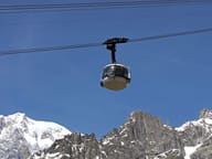 Skyway Monte BiancoCabins that rotate on their own axis up to Punta Helbronner, at 3,466 m
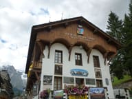 Duca degli Abruzzi Alpine MuseumIn the home of the Guides, founded in 1850, the hut logbooks with climbers' signatures
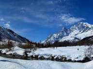 Val Ferret Cross-Country TrailsFrom Planpincieux, 22 km of trails run up the Val Ferret as far as Lavachey
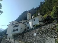 Sanctuary of Notre-Dame-de-GuérisonA church of 1867, consecrated in 1868, its walls covered with crutches and ex-votos