 The Aosta Trip
Lac Gelé
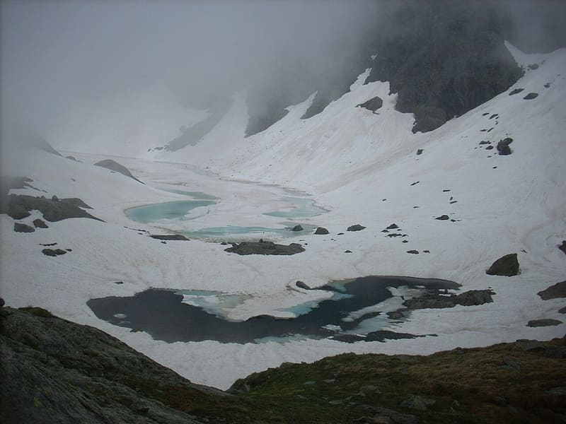
In a stony north-facing basin, it stays frozen until late in the season
The lake closes off the end of the valley, at the foot of Mont Iverta, near the park rangers' hut of the Mont Avic Nature Park. From here Mont Avic looks squat, very different from the slender peak you see from Veulla.

Trails
- from Veulla (1,286 m) · ↑ 1,311 m · 4 h 2 min out, 2 h 25 min back · 6.1 km · E Hike · path 5C - 6 · July, August, September
Trails: data provided by the Struttura Forestazione e Sentieristica of the Aosta Valley Autonomous Region.
History
The name comes from the ice that covers the lake for many months of the year. Climbing through the woods from Veulla you pass the remains of old mines.
Nearby
- Gran LagoSecond-largest natural lake in the Aosta Valley by area, below Mont Glacier
 Rifugio BarbustelBuilt in 1994 on the ruins of an alpine pasture, above the Lago Bianco of Mont Avic
 Mont GlacierThe highest peak in the Mont Avic Park: on clear days you can see Monviso
 Colle del Lago BiancoGateway to the Mont Avic park, with views of the Matterhorn, Monte Rosa and Dent d'Hérens
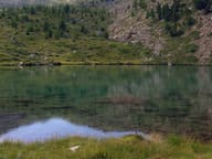 Lago MufféMont Avic lake with a refreshment point, an hour from the Cort car park
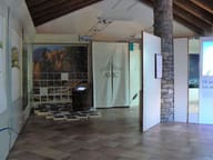 Mont Avic – Covarey Visitor Centre1:5,000 relief model of the Park and a museum of rocks, wetlands and forests of the Val Chalamy