 The Aosta Trip
Rifugio Miserin
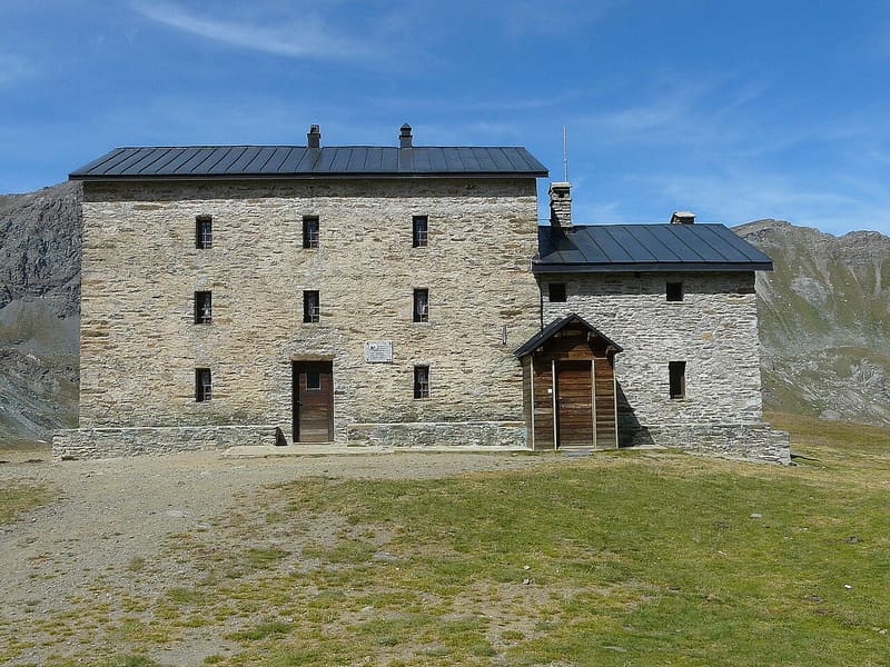
Started as a pilgrims' hospice, next to the sanctuary of the Madonna delle Nevi
It stands on the shore of Lago Miserin, an artificial lake, next to the sanctuary of the Madonna delle Nevi, in the Mont Avic Nature Park on the border with the Gran Paradiso. The Rosa dei Banchi, the Bec Costazza and the Tour Ponton are reflected in the water. Every 5 August a procession leaves Champorcher at 4:00 in the morning with torches and climbs up to the sanctuary. In summer the hut organises evenings for watching the stars.

Visiting
From mid-June (19 or 21/06) to mid-September. 36 beds. From Dondena (car park at 2,106 m, dirt road from Champorcher), passing the Dondena hut: on foot (1h30, path 7 or AV2, E). From Chardonney (Champorcher): on foot (4h30, E). Phone: +39 348 6813091.
Trails
- from Dondena (2,096 m) · ↑ 487 m · 1 h 43 min out, 1 h 12 min back · 4.5 km · E Hike · May–October
Trails: data provided by the Struttura Forestazione e Sentieristica of the Aosta Valley Autonomous Region.
History
The building dates from the seventeenth century and served as a hospice for the pilgrims to the sanctuary, whose chapel was blessed in 1658; the present sanctuary dates from 1881, rebuilt after the fire of 1947. In 2000 the low wing with kitchen and bathrooms was added, and from summer 2001 the hut reopened, renovated, thanks to the community of Champorcher, led by Pierino Danna and Father Giuliano Réboulaz. After some years of closure, it has been open under new management since 2010.
Nearby
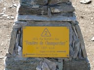 Finestra di ChamporcherOn the pass the Mont Avic Nature Park ends and the Gran Paradiso National Park begins
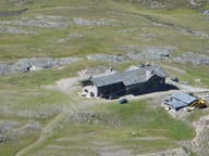 Rifugio Sogno di BerdzéReopened in July 2026 after five years, where the stream of the Lillaz waterfalls rises
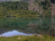 Lago MufféMont Avic lake with a refreshment point, an hour from the Cort car park
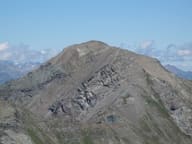 Mont GlacierThe highest peak in the Mont Avic Park: on clear days you can see Monviso
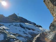 Colle dell'AriettaEvery 9 August the faithful of Cogne cross it on pilgrimage to San Besso
- Laghi MiserinoLakes in a scree basin between the Pointe Miserino and the Pointe d'Echellette