 The Aosta Trip
Alpe Valmeriana
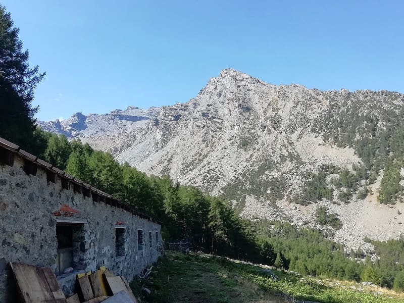
Millstone quarries worked as early as the eleventh and twelfth centuries: the ‘Strada del Sole’ of Valmeriana
From the alpine pasture, path 3 towards Bellecombe passes between rock faces bearing the marks of the extracted millstones and boulders with millstones only roughed out, which look like sun discs. The third site, about 35 minutes from the alpine pasture, shows about ten millstones on a large rock. From the paths you can see the Matterhorn and Monte Rosa.

Trails
- from Bellecombe (1,020 m) · ↑ 786 m · 2 h 35 min out, 1 h 43 min back · 5.4 km · E Hike · path 3 · June, July, August, September, October
- from Clapey (568 m) · ↑ 1,256 m · 3 h 51 min out, 2 h 20 min back · 6 km · E Hike · path 4 · June, July, August, September
Trails: data provided by the Struttura Forestazione e Sentieristica of the Aosta Valley Autonomous Region.
History
The rock of Monte Barbeston is a chlorite schist with garnets, soft to work but abrasive, suitable for grinding cereals. Documents from the eleventh and twelfth centuries show the lords of Vercelli, Ivrea and Bard in dispute over the millstone trade: thousands of them passed through Bard, mainly from Valmeriana and Saint-Marcel. The stone was later also used for soapstone pots.
Nearby
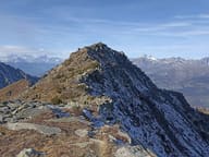 Monte BarbestonOn the summit a statue of the Madonna looks out over the lower valley, above Pontey and Champdepraz
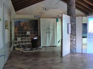 Mont Avic – Covarey Visitor Centre1:5,000 relief model of the Park and a museum of rocks, wetlands and forests of the Val Chalamy
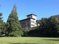 Gamba CastleIn the park, among 150 trees, grows a California giant sequoia
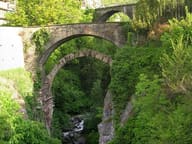 Châtillon Roman BridgeThe Roman abutments, with a 15-metre arch, still carry the bridge over the Marmore
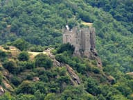 Ussel CastlePassed to the Region in 1983; linked to Marcel Bich, the Bic pen baron
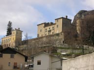 Passerin d'Entrèves CastlePrivate castle; entry to the park with monumental trees is free