 The Aosta Trip
Mont Avic – Covarey Visitor Centre
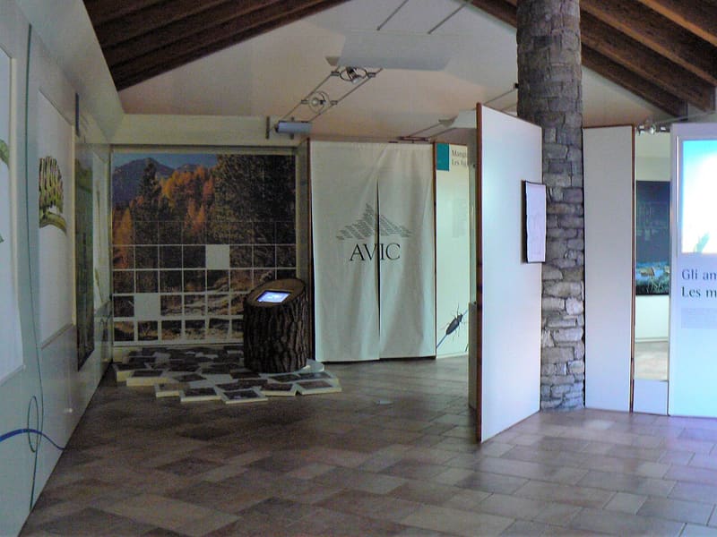
1:5,000 relief model of the Park and a museum of rocks, wetlands and forests of the Val Chalamy
The Mont Avic Nature Park centre is at Covarey, on the road to Chevrère. An information point with a video wall and an interactive natural history museum present the rocks, wetlands and forests of the Val Chalamy; one room hosts exhibitions and there is a relief model of the Park at a scale of 1:5,000.

Visiting
Open every day from 27 June to 31 August, and at weekends in June and in early September, 9:00–13:00 and 14:00–18:00. Free admission. For groups outside these dates it opens with 3 days' notice.
History
Mont Avic Nature Park is the first nature park in the Aosta Valley: the regional law establishing it dates from October 1989 and protects the middle and upper part of the valley of the Chalamy stream, in the municipality of Champdepraz. The choice fell on an area that people had touched little: the steep slopes had always limited fields and pastures and, more recently, had kept lifts and mass tourism away. In 2003 the park was extended to the Champorcher valley and in 2023 to the Val Clavalité, in the municipality of Fénis, reaching 7,293 hectares, between 1,000 m and the 3,185 m of Mont Glacier.
Beneath the woods lies a piece of ocean floor. The green rocks of Mont Avic, serpentinites and gabbros transformed by metamorphism, are a fragment of the ancient Piedmont ocean basin, closed by the collision that raised the Alps. They produce poor soils loaded with metals that are toxic to many plants: on the serpentinites mainly herbaceous plants that tolerate them grow, such as certain crucifers of the genera Thlaspi and Cardamine.
More than a third of the park is woodland, and the Val Chalamy has the largest mountain pine forest in the Italian Alps; the Serva forest is classified among the seed woods of national interest. There are also beech woods, which are absent from the rest of the middle and upper Aosta Valley, and among the trees over 110 species of beetles that feed on them have been found. Among the more than thirty lakes there are many peat bogs, which are rare in the valleys of the western Italian Alps.
Those woods grew back after centuries of mining. The magnetite of the Lac Gelé, between 2,500 and 2,620 m, was already being dug in 1693, when Bernardo and Aurelio Mutta signed the concession; the mountain was disputed between the Baron of Fénis and the provost of Saint-Gilles. The ore came down by sledge to the Serva furnaces, and from about 1873 Baldassarre Mongenet lowered it by an aerial ropeway to the Dora, from where it continued by cart to the blast furnace of Pont-Saint-Martin; digging went on, in phases, until 1893. The iron and copper of Hérin, at 1,700 m, above the main village, were worked mainly in the eighteenth century and, on and off, until 1951. Smelting needed charcoal in large quantities: the woods of the valley were cut several times, and along the paths you can still recognise the clearings of the charcoal hearths.
The Hérin mine is also a landmark for mineralogists: it is the type locality of ferroglaucophane, a grey-blue amphibole, that is, the place that supplied the specimens on which it was described as a new species.
Nearby
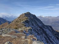 Monte BarbestonOn the summit a statue of the Madonna looks out over the lower valley, above Pontey and Champdepraz
- Lago di PanazSubalpine lake with a peat bog; the ascent crosses the Gorf bridge, suspended over a gorge
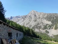 Alpe ValmerianaMillstone quarries worked as early as the eleventh and twelfth centuries: the ‘Strada del Sole’ of Valmeriana
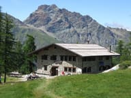 Rifugio BarbustelBuilt in 1994 on the ruins of an alpine pasture, above the Lago Bianco of Mont Avic
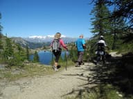 Colle del Lago BiancoGateway to the Mont Avic park, with views of the Matterhorn, Monte Rosa and Dent d'Hérens
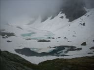 Lac GeléIn a stony north-facing basin, it stays frozen until late in the season