 The Aosta Trip
Alpe Château
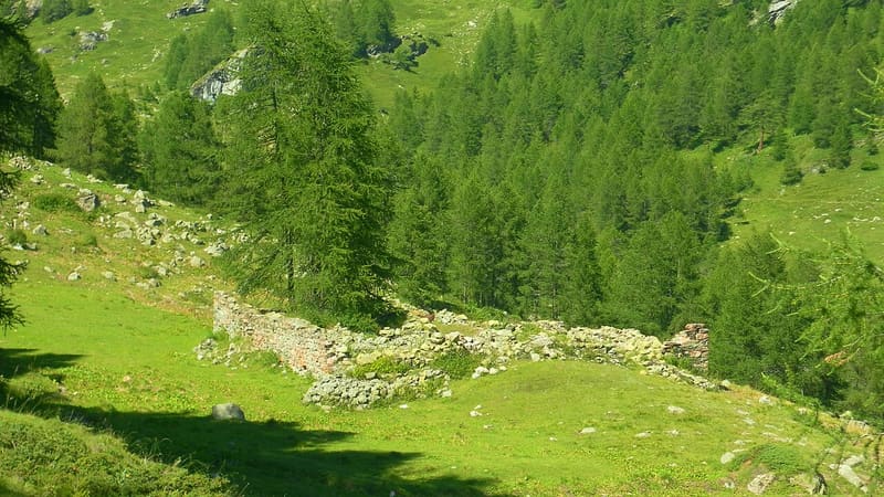
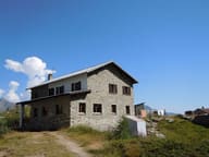
Alpine pasture from 1780 beside the ruins of the Chavacour hospice, on the route to Valais
The alpine pasture lies hidden among the larches, with a view of the Alpe Dzanzeve and the Ersaz and Saleron mountains. Nearby are the ruins of the Chavacour hospice, and the ru di Chavacour passes by, the channel that carries water to the meadows of Verrayes, Saint-Denis and Chambave.

Trails
- from Etirol (1,598 m) · ↑ 512 m · 2 h 45 min out, 2 h 10 min back · 8 km · E Hike · path 7 - 1 - 2 · June, July, August, September
Trails: data provided by the Struttura Forestazione e Sentieristica of the Aosta Valley Autonomous Region.
History
The Chavacour hospice was a shelter on the route linking Torgnon to Valais over the Chavacour, For, Collomb and Teodulo passes, used for the trade in livestock and Chambave Muscat. Some of the stones of the alpine pasture, dated 1780, were taken from the demolition of the hospice.
Nearby
- Gilliarey Sanctuary1866 chapel on a rocky spur above Buisson, facing the Matterhorn
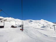 ChamoisThe village with no roads for cars: you go up to the lifts by cable car from Buisson
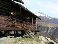 Petit-Monde Ethnographic MuseumRow raccard, grange and grenier from 1463–1700 at Triatel, with a mill on the stream
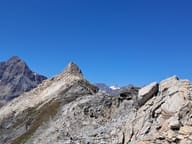 Cima BiancaOver 3,000 m on a waymarked path: summit cross and a view of the Matterhorn and Monte Rosa
 Rifugio Barmasse200 metres from the Cignana lake, the largest in the Valtournenche
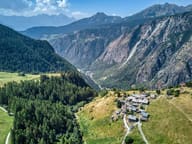 ChamoisThe only municipality in Italy with no road for cars: since 1955 you go up by cable car