 The Aosta Trip
Pré-Saint-Didier Gorge, Panoramic Walkway
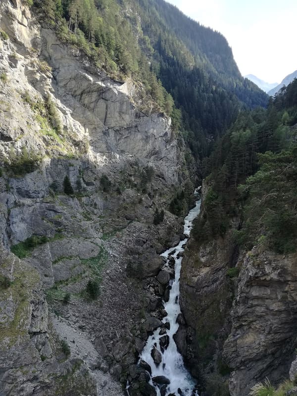
A walkway 160 m above the gorge cut by the Dora di Verney
From the walkway, 160 m above the gorge, you can see the Pré-Saint-Didier basin and Mont Blanc. You can also look at the gorge from below, from the path that follows the Dora di Verney up to Plan du Bois. Alongside runs the Parco Avventura zip wire, which crosses the gorge, and further down the thermal springs well up.

Visiting
Closed in winter. By car: 3 km towards La Thuile, after the hairpin bends and the first tunnel, turn right for Plan du Bois (Parco Avventura), then 10 minutes on foot; the Plan du Bois dirt road was closed after the landslide of August 2024 and there is no official reopening on record, although people who went there in 2026 say they parked higher up. On foot from the spa: 180 m height gain, about 40 minutes uphill and 15 downhill.
History
The gorge is the work of the Dora di Verney, the La Thuile stream, which collects the waters coming down from the Little St Bernard Pass and the Rutor glacier and, just before Pré-Saint-Didier, squeezes between two almost vertical walls. At the base of the gorge, from a cave in the rock, comes the hot water that since the mid-seventeenth century has made the village a destination for bathers.
Horace-Bénédict de Saussure passed through in 1778, on his way to the Crammont with Trembley and Pictet. In his Voyages dans les Alpes he describes the stream running at the bottom of a narrow cleft several hundred feet deep, with the two walls ‘perfectly similar and corresponding’, and the baths set against the foot of the cliff. He also notes, 25 minutes from the village on the other bank, a cobalt mine dug on behalf of the king: the keeper was so scrupulous that he would neither give him a piece of it nor let him see it.
The walkway is recent. Designed in 2011 by Gianluca Guglielmetti's engineering firm GeArc, it was assembled in 2013 and opened to the public in the spring of 2014. It projects 12 m out over the void, 160 m above the floor of the gorge: metal framework, concrete and glass, with 160 m of steel cables anchored to the rock face. It cost more than €400,000, part of an investment by the Region of almost a million that includes the new path from the spa to Plan du Bois, at the foot of Mont Crammont.
The surrounding walls are fragile. On 25 December 2022 about 2,000 m³ of rock broke away from Mont de Nona and fell 700 m down to the main road to La Thuile: snow melted by rain and temperature swings of 15 degrees had split an already unstable rock. The road reopened on 24 January 2023, protected by a 42 m embankment. On 22 August 2024 another landslide from the same mountain hit the dirt road that leads to the Parco Avventura and the walkway: the municipality closed it to cars and pedestrians, together with path 6 Plan du Bois-Elevaz, and it has been possible to reach the walkway only by the path from the spa.
Nearby
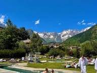 QC Terme Pré-Saint-DidierHot open-air thermal pools facing Mont Blanc, in the 1834 spa building
 Testa d'ArpyFrom the viewpoint at 2,015 m you can see Mont Blanc and Courmayeur, 20 minutes from the pass
- Arpy Cross-Country TrailsThe ‘Franco Revel’ trail at Arpy is FISI-homologated for national races until 2028
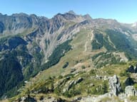 Courmayeur Mont BlancRuns on Plan Chécrouit and Val Veny up to 2,755 m on the Cresta d'Arp
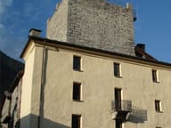 Tour de l'ArchetWalls 2.60 metres thick: the tower, 9 metres a side, now houses a comics library
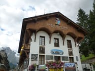 Duca degli Abruzzi Alpine MuseumIn the home of the Guides, founded in 1850, the hut logbooks with climbers' signatures