 The Aosta Trip
Rifugio Vittorio Emanuele II
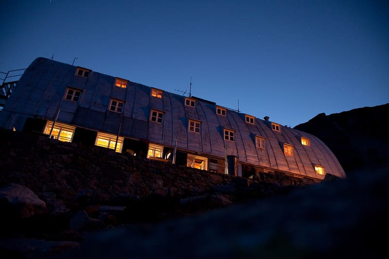
Vaulted sheet-metal roof on an all-iron frame made by Cogne, completed in 1961
It lies on the shore of Lago Moncorvé, facing the glaciers of the Ciarforon and the Becca di Monciair. It is the main base for the normal route up the Gran Paradiso (4,061 m). Next to the new hut, with its vaulted sheet-metal roof, the 1884 building still stands. A small power plant uses the water of the little lake below.

Visiting
Spring: from 26/03 to 03/05. Summer: from 21/05 to 13/09. Other openings by booking. 120 beds. From Pont Valsavarenche (1,955 m): on foot (2h30, path 1, E). From Rifugio Federico Chabod (high-level traverse): on foot (about 2h, path 1A, E). Phone: +39 0165 95920; +39 0165 1756475; +39 335 6614311.
Trails
- from Rifugio Chabod (2,719 m) · ↑ 447 m · 1 h 56 min out, 1 h 25 min back · 5.6 km · E Hike · path 1A · mid-June–mid-September
- from Pont (1,955 m) · ↑ 775 m · 2 h 32 min out, 1 h 39 min back · 5 km · E Hike · path 1 · June–September
Trails: data provided by the Struttura Forestazione e Sentieristica of the Aosta Valley Autonomous Region.
History
The first hut was built in 1884 and is dedicated, like the new one, to King Victor Emmanuel II, who frequented the area as a hunting reserve. The new building was commissioned in the 1930s by Senator Brezzi, president of CAI Torino and of the Cogne company: the engineer Dumontel designed it with an internal iron frame made by Cogne. In 1933 Umberto di Savoia inaugurated the still empty skeleton; the war halted the work, which resumed in 1953 with Marshall Plan funds. The ground floor was already in use in the spring of 1954 and the official inauguration came in 1961.
Nearby
- Rifugio Tetras LyreFormer stone cowshed in a larch clearing, 15–25 minutes on foot from Pont
 Rifugio Federico ChabodAt the foot of the north-west face of the Gran Paradiso, built at the wish of the Valsavarenche guides
- Col d'EntrelorPass at 3,002 m on the Alta Via 2, reached via Orvieille and the Djouan and Nero lakes
- Rifugio SavoiaThe king's former hunting lodge on the Nivolet plateau, owned by the Dayné family since 1921
 Colle del NivoletBeyond the Croce Arolley, the Nivolet plain with the Dora meandering
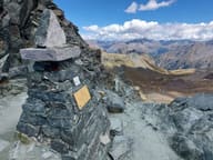 Col LosonThe highest point of the Aosta Valley Alte Vie, on a royal hunting path