 The Aosta Trip
Col Loson
Col du Lauson
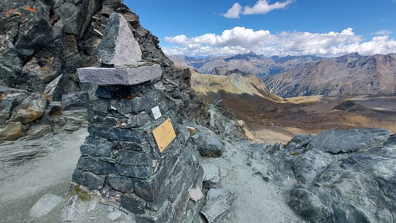
The highest point of the Aosta Valley Alte Vie, on a royal hunting path
The pass is the easiest crossing in the range between Gran Paradiso and the Grivola, between the Punta del Tuf and the Becca di Vermianaz. At the pass there is a stone marker. Towards Cogne you can see Rifugio Vittorio Sella below; the view ranges from the glaciers of Gran Paradiso to the peaks of the Valsavarenche. Below the pass the path crosses exposed ledges with steel girders and fixed ropes.

Trails
- from Valnontey (1,667 m) · ↑ 1,639 m · 4 h 58 min out, 3 h 12 min back · 10.3 km · E Hike · path 18 - AV2 · July–August
- from Tignet (1,714 m) · ↑ 1,634 m · 5 h 9 min out, 3 h 16 min back · 9.6 km · E Hike · path 10 - AV2 - 10B · July–August
- from Eaux-Rousses (1,654 m) · ↑ 1,644 m · 5 h 23 min out, 3 h 38 min back · 12.5 km · E Hike · path AV2 - 10B - 10 · July–August
Trails: data provided by the Struttura Forestazione e Sentieristica of the Aosta Valley Autonomous Region.
History
The pass was part of the hunting route of Victor Emmanuel II, who had a path laid out with wide hairpin bends on both sides. On the Cogne side one of the buildings of Rifugio Vittorio Sella is the king's old hunting lodge, restored. Today the pass is the highest point of the Alta Via 2 and the highest point of the Tor des Géants.
Nearby
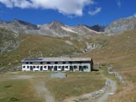 Rifugio Vittorio SellaThe king's hunting lodge at the Lauson, a CAI Biella hut since 1922
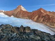 Bivacco Luciano GrattonAt the Colle del Pousset, at 3,198 m, facing the south side of the Grivola
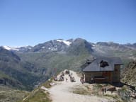 Rifugio Federico ChabodAt the foot of the north-west face of the Gran Paradiso, built at the wish of the Valsavarenche guides
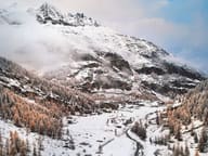 Valsavarenche Cross-Country TrailsAt Pont, the last village in the valley, a 5.5 km loop runs at an altitude of 2,000 metres
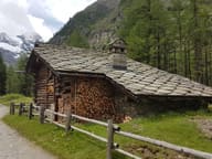 VermianaVillage of fewer than ten houses on the floor of the Valnontey, among ibex and chamois
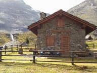 Bivacco Mario GontierA 1985 bivouac hut facing the north face of the Grivola, dedicated to Mario Gontier