 The Aosta Trip
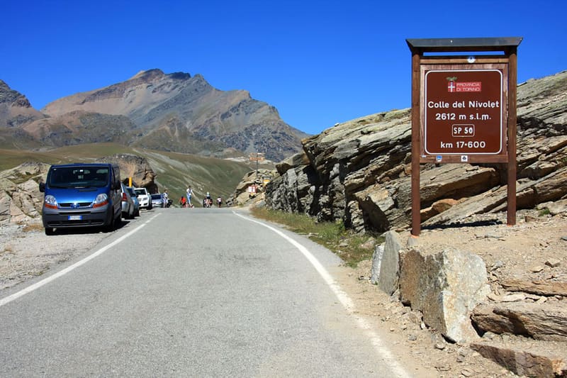
Colle del Nivolet
Col du Nivolet
Beyond the Croce Arolley, the Nivolet plain with the Dora meandering
From Pont you climb to the Croce Arolley (2,314 m), a viewpoint over the valley. Then the path enters the valley of the Dora del Nivolet, a broad plain where the stream flows slowly in meanders, between the alpine pastures of the Grand Collet and the Nivolet. The pass, on the border with Piedmont, lies near the Nivolet lakes and the Savoia hut; in the area there are also the Rosset and Leità lakes.

Trails
- from Pont (1,963 m) · ↑ 643 m · 3 h 15 min out, 2 h 30 min back · 9 km · E Hike · path 3 - 3A · July–August
Trails: data provided by the Struttura Forestazione e Sentieristica of the Aosta Valley Autonomous Region.
History
The road that climbs from Ceresole Reale, 18.5 km long, was opened in 1931 to reach the Serrù and Agnel artificial lakes. In the 1970s there were plans to extend it to Pont, in Valsavarenche, but the project was never carried out. In 2026 Gran Paradiso National Park limits car access from Piedmont to 350 vehicles a day, by booking.
Nearby
- Rifugio SavoiaThe king's former hunting lodge on the Nivolet plateau, owned by the Dayné family since 1921
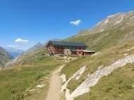 Rifugio Gian Federico BenevoloAt the head of the Val di Rhêmes since 1930: every spring 1,200–1,500 ski mountaineers sleep here
- Rifugio Tetras LyreFormer stone cowshed in a larch clearing, 15–25 minutes on foot from Pont
- Col d'EntrelorPass at 3,002 m on the Alta Via 2, reached via Orvieille and the Djouan and Nero lakes
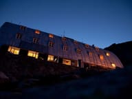 Rifugio Vittorio Emanuele IIVaulted sheet-metal roof on an all-iron frame made by Cogne, completed in 1961
 Col Bassac DéréPass at 3,082 m above the Goletta lake, with views of the Granta Parei and Gran Paradiso