 The Aosta Trip
Rifugio Albert Deffeyes
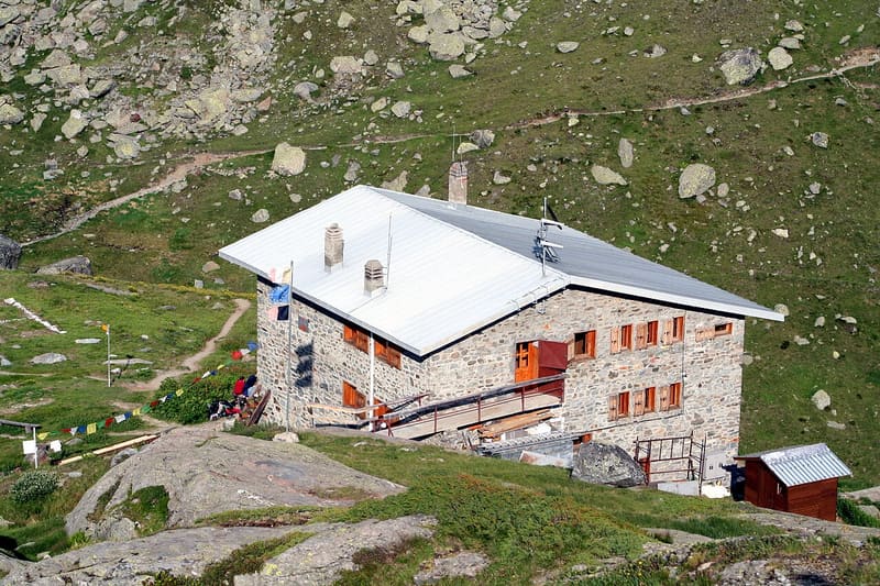
Facing the Rutor glacier, with a view of the Grand Assaly and Santa Margherita
It stands at 2,500 m on the edge of a valley partly occupied by the lac d'En Bas, which separates it from the lower end of the Rutor glacier. You can see the pyramid of the Grand Assaly and the chapel of Santa Margherita, built in 1606–1607 against flooding from the glacial lakes. On the nearby lake there is a climbing wall with routes from 5c to 7a. It is the base for the normal route to the Testa del Rutor.

Visiting
From 20/06 to 13/09; lunch from 12:00 to 14:30 without booking. 90 beds. From La Joux (La Thuile): on foot, passing next to the three waterfalls (2h30; 227 min according to the trail register, path 3 - AV2, E). From La Joux, direct route: on foot (173 min, path AV2 - 3, E). From La Thuile, Thovex: on foot (217 min, path 15 - AV2 - 3, E). Phone: +39 0165 884239 (hut); +39 349 4905603 (hut keeper); +39 392 1437787 (WhatsApp, from 15:00 to 18:00).
Trails
- from Joux (1,613 m) · ↑ 889 m · 2 h 53 min out, 1 h 54 min back · 6.1 km · E Hike · path AV2 - 3 · June–September
- from La Thuile (1,594 m) · ↑ 1,012 m · 3 h 3 min out, 1 h 58 min back · 6.1 km · E Hike · June–September
- from La Thuile, Thovex (1,535 m) · ↑ 968 m · 3 h 37 min out, 2 h 31 min back · 9 km · E Hike · path 15 - AV2 - 3 · Mid-June–September
- from Joux (1,623 m) · ↑ 1,070 m · 3 h 47 min out, 2 h 34 min back · 8.3 km · E Hike · path 3 - AV2 · June–September
- from Capoluogo (1,440 m) · ↑ 1,197 m · 4 h out, 2 h 50 min back · 9.9 km · E Hike · path AV2 · July–September
Trails: data provided by the Struttura Forestazione e Sentieristica of the Aosta Valley Autonomous Region.
History
It was built in 1953 by the Aosta section of the CAI, which owns it. It is named after Albert Deffeyes, who was born in Aosta in 1913 and died in 1953, the year of the inauguration: a mountaineer, president of the Aosta Valley section of the CAI, one of the founders of the Union Valdôtaine and regional councillor for tourism.
Nearby
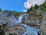 Cascate del RutorThree falls between 1,700 and 2,000 m; over the third a 16 m steel footbridge, since 2014
- Laghi di Bella CombaTwo lakes at 2,374 m: in the second, a large snail-shaped boulder in the middle
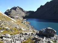 Lago di Pietra RossaFrom the shore you can see Lago d'Arpy below and, opposite, the Mont Blanc range
- La Thuile Cross-Country TrailsThe cross-country trails at Arly, in La Thuile, are free seven days a week
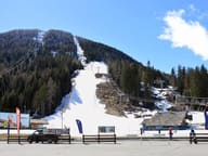 La Thuile, Espace San BernardoRun 3 Franco Berthod reaches a maximum gradient of 76%
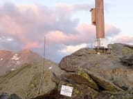 Becca PouegnentaChoristers' Cross brought by helicopter in 2002, rebuilt in 2024 after a lightning strike