 The Aosta Trip
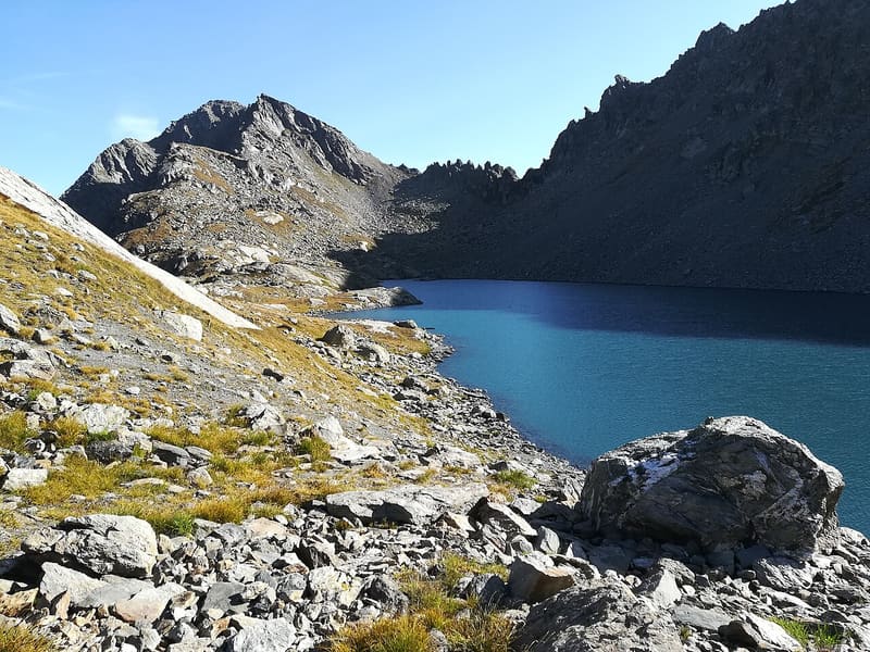
Lago di Pietra Rossa
From the shore you can see Lago d'Arpy below and, opposite, the Mont Blanc range
The lake, long and narrow, lies in a basin of boulder fields above a rock step that separates it from the Arpy plain. From the shores you can see Lago d'Arpy below and, opposite, the Mont Blanc range. Above the lake rises the Becca Pouegnenta; to the north-east you climb to the Col d'Ameran, to the south-west to the Col Colmet.

Trails
- from Col Saint-Charles (1,944 m) · ↑ 637 m · 2 h 26 min out, 1 h 42 min back · 5.7 km · E Hike · path 15 · July, August, September
Trails: data provided by the Struttura Forestazione e Sentieristica of the Aosta Valley Autonomous Region.
Nearby
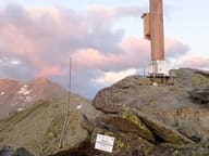 Becca PouegnentaChoristers' Cross brought by helicopter in 2002, rebuilt in 2024 after a lightning strike
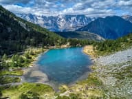 Lago d'ArpyWalking round the lake you can see the Grandes Jorasses reflected in the water
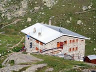 Rifugio Albert DeffeyesFacing the Rutor glacier, with a view of the Grand Assaly and Santa Margherita
- La Thuile Cross-Country TrailsThe cross-country trails at Arly, in La Thuile, are free seven days a week
- Arpy Cross-Country TrailsThe ‘Franco Revel’ trail at Arpy is FISI-homologated for national races until 2028
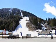 La Thuile, Espace San BernardoRun 3 Franco Berthod reaches a maximum gradient of 76%