 The Aosta Trip
Lago Verney
Lac Verney
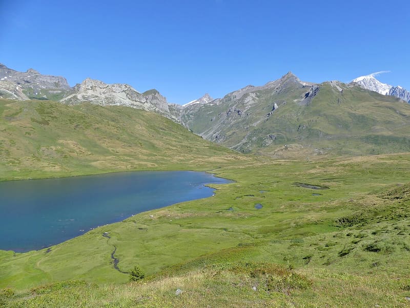
Among the largest natural lakes in the region: 20 hectares at 2,088 m, by car from the main road
The lake lies at 2,088 m between Becco dei Rousses and Mont Chaz Dura, just below the pass, with the main road running past it and the car park on the shore. The shores have no trees and you can walk all the way round; the water, green, is clear for many metres and in the deepest points is more than 10 m deep. From the north shore you can see the Aiguille des Glaciers and Mont Blanc. From the lake, paths lead to the small upper lakes, to Lago di Tormotta and to the Lancebranlette, 800 m higher.

Visiting
ACCESS: by car on the SS 26 of the Little St Bernard Pass, from La Thuile towards the pass, with a car park on the right of the road at the lakeside; you can also come down from the pass. The pass road is open only in summer, from late May or June to October: in 2025 it reopened on 28 May; the autumn closing date does not appear in any official source. From 18 July to 30 August 2026 the paid shuttle service La Thuile - Little St Bernard Pass stops at the lake, 4 services a day (from La Thuile 9:15, 12:15, 14:15, 17:15). ROUTE: the walk round the lake is 2.6 km, almost flat, 30–45 minutes; you climb to the small upper lakes (2,280–2,296 m) in 40–60 minutes with 190–210 m of height gain. FISHING: special catch-and-keep reserve from 21 June to 14 October 2026, day permit €45 (€34 with the annual regional permit), no state licence required, from dawn to dusk, maximum 5 fish, minimum size 33 cm, natural bait, spinning or fly.
History
It is one of the largest natural lakes in the region, about 20 hectares in a basin shaped by glaciers; the Dora di Verney flows through it, in and out, and it is fed by a catchment of 3.5 km². From late June to mid-October it is a catch-and-keep fishing reserve with rainbow trout and Arctic char.
Nearby
 Roman Remains at the Little St Bernard PassThe foundations of the eastern mansio, on the Italian side, measure 25.5 by 67.5 metres
 La Thuile, Espace San BernardoRun 3 Franco Berthod reaches a maximum gradient of 76%
- Laghi di Bella CombaTwo lakes at 2,374 m: in the second, a large snail-shaped boulder in the middle
- Berton House Museum1975 villa of the Berton brothers: 200 pieces of Aosta Valley craftwork and 4,200 books
- La Thuile Cross-Country TrailsThe cross-country trails at Arly, in La Thuile, are free seven days a week
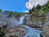 Cascate del RutorThree falls between 1,700 and 2,000 m; over the third a 16 m steel footbridge, since 2014