 The Aosta Trip
Colle Bettaforca
Col de la Bettaforca
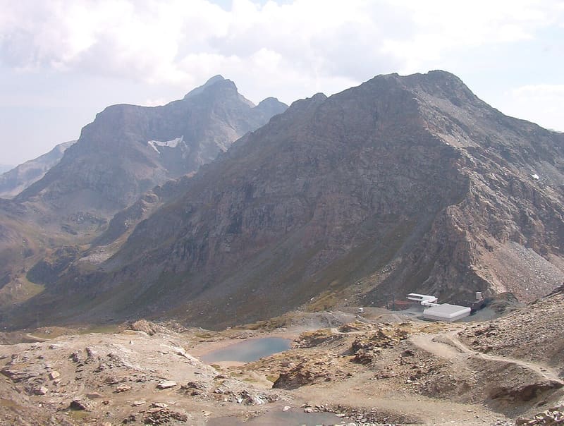
Stage of the Tour del Monte Rosa and starting point for the Quintino Sella al Felik hut
The pass separates the Monte Rosa massif, to the north, from its spurs to the south, and looks over the Ayas and Gressoney valleys. The Monterosa Ski chairlifts from Staffal and from the Val d'Ayas reach it, and there is a place serving refreshments. From here path 9 continues over scree towards the Colle Bettolina and the Felik glacier.

Trails
- from Staffal (1,841 m) · ↑ 855 m · 2 h 37 min out, 1 h 42 min back · 5.5 km · E Hike · path TMR - 8 · July, August, September
- from Saint-Jacques (1,700 m) · ↑ 987 m · 3 h 3 min out, 1 h 53 min back · 5 km · E Hike · path 9 · June, July, August, September
- from Gressoney-la-Trinité (1,656 m) · ↑ 1,036 m · 3 h 30 min out, 2 h 18 min back · 7.2 km · E Hike · path 9 · June, July, August, September
Trails: data provided by the Struttura Forestazione e Sentieristica of the Aosta Valley Autonomous Region.
History
On the Sant'Anna plateau, along the ascent from Staffal, there is a chapel built in 1726 where there used to be a shelter for those climbing to the pass.
Nearby
- Laghi di RésySmall lakes between 2,523 and 2,572 m on a rock plateau at the foot of the Monte Rosso
- Lago CiarcerioSaddle lake between the Contenery and Ciarcerio valleys, where a chairlift arrives
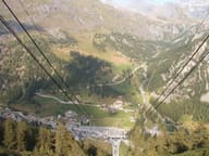 Monterosa Ski, Gressoney-La-Trinité and StaffalFrom Staffal the lifts climb to 3,275 m on the Indren glacier
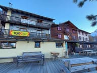 Rifugio G.B. FerraroInaugurated in 1932 on a Walser house in Resy, whose carved lintel it keeps
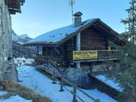 Rifugio Guide FracheyFounded in the 1980s by the guide Oliviero Frachey, who climbed the Ruwenzori in 1958
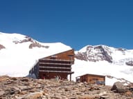 Rifugio Quintino Sella al FelikFirst hut from 1885, dedicated to Quintino Sella, founder of the CAI