 The Aosta Trip
Laghi di Résy
Lacs de Résy
Small lakes between 2,523 and 2,572 m on a rock plateau at the foot of the Monte Rosso
The lakes lie on a rocky plateau at the foot of the Monte Rosso, above the Walser village of Résy. The lowest is at 2,523 m, the largest and highest at 2,572 m. You can combine them with the ascent of the Palon di Résy (2,673 m), from which you can see the Breithorn, the Castore, the Polluce and the Verra glaciers.

Trails
- from Résy (2,085 m) · ↑ 528 m · 1 h 47 min out, 1 h 7 min back · 2.9 km · E Hike · path 8D · June, July, August, September
Trails: data provided by the Struttura Forestazione e Sentieristica of the Aosta Valley Autonomous Region.
Nearby
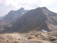 Colle BettaforcaStage of the Tour del Monte Rosa and starting point for the Quintino Sella al Felik hut
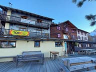 Rifugio G.B. FerraroInaugurated in 1932 on a Walser house in Resy, whose carved lintel it keeps
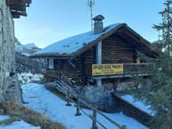 Rifugio Guide FracheyFounded in the 1980s by the guide Oliviero Frachey, who climbed the Ruwenzori in 1958
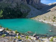 Lago BluTurquoise water in a basin on the moraine of the Verra glacier
- Lago CiarcerioSaddle lake between the Contenery and Ciarcerio valleys, where a chairlift arrives
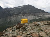 Bivacco Città di MarianoYellow bivouac hut of the CAI Mariano Comense section, base for climbing the Gobba di Rollin