 The Aosta Trip
Col des Chavannes
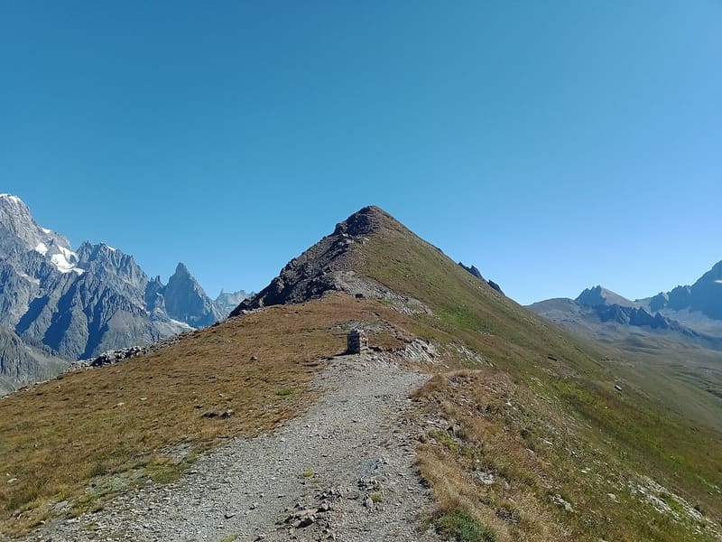
It looks out over the upper Val Veny: Aiguille des Glaciers, Trélatête and Pyramides Calcaires
The pass separates the Chavannes valley, above La Thuile, from the upper Val Veny. From the pass you can see the Aiguille des Glaciers and the Aiguille de Trélatête, with the Pyramides Calcaires lower down, and the Mont Blanc massif. Just below the pass there is a military casemate. From the pass a traverse between small lakes leads to Mont Fortin.

Trails
- from Pont Combal (1,920 m) · ↑ 640 m · 2 h 25 min out, 1 h 44 min back · 6 km · E Hike · path AV2 - 11 - TMB · July–September
- from Faubourg (1,458 m) · ↑ 1,159 m · 4 h 41 min out, 3 h 25 min back · 13.4 km · E Hike · path AV2 - 11 · Mid-June–September
Trails: data provided by the Struttura Forestazione e Sentieristica of the Aosta Valley Autonomous Region.
History
The Chavannes valley was an alternative route to the Little St Bernard Pass between the Tarentaise and Courmayeur. In the spring of 1691 Duke Victor Amadeus II had the passages in the area inspected: the report of that year judges the valley to be of great importance because it leads into the Val Veny. At the pass there are still a masonry barracks and, on Mont Fortin, trenches with salients and re-entrants. Today the Alta Via 2 passes through it.
Nearby
 Col de la SeigneGateway into Italy for the Tour du Mont Blanc and the Ultra-Trail du Mont-Blanc race
- Bivacco Adolfo Hess1925 bivouac hut dedicated to Adolfo Hess, the engineer who devised fixed bivouac huts
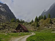 Cabane du CombalSeven en-suite rooms between the Combal lake and the Miage lake, reachable only on foot
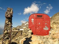 Bivacco Gino RainettoFlown in by helicopter in 1963 for the Giovane Montagna's 50th anniversary, facing Mont Blanc
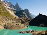 Lago del MiageA lake in contact with the glacier: blocks of ice break off its front into the water
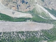 Lago Verde (Jardin du Miage)Lake in the Jardin du Miage woodland, enclosed between the two terminal tongues of the glacier