 The Aosta Trip
Lago del Miage
Lac du Miage
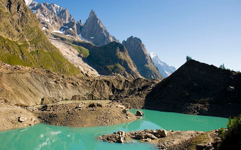
A lake in contact with the glacier: blocks of ice break off its front into the water
From the crest of the moraine you can see the lake, closed off on one side by the ice wall of the Miage, covered in debris, and on the other by the morainic amphitheatre. The water is greyish from the glacier silt. To be safe from the waves caused by collapses, it is best to stay on the shore away from the ice. A sign on the path explains the origin of the lake.

Trails
- from Visaille (1,679 m) · ↑ 366 m · 1 h 19 min out, 55 min back · 3.4 km · E Hike · path 12 - 18A · July–September
Trails: data provided by the Struttura Forestazione e Sentieristica of the Aosta Valley Autonomous Region.
History
It is an ice-contact lake, rare in the Alps: the Miage glacier forms one of its shores and icebergs break off its ice cliff. The lake empties in cycles because of the movements of the glacier and then slowly fills up again; in November 2014 the basin in contact with the ice, about 25 m deep, was dry. The Miage is the most representative ‘black’ glacier in Italy, covered in debris since the late nineteenth century. Near Lago Combal there are still ruins of fortifications against the French troops who came down from the Col de la Seigne.
Nearby
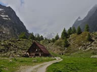 Cabane du CombalSeven en-suite rooms between the Combal lake and the Miage lake, reachable only on foot
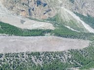 Lago Verde (Jardin du Miage)Lake in the Jardin du Miage woodland, enclosed between the two terminal tongues of the glacier
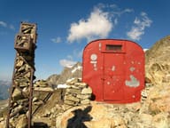 Bivacco Gino RainettoFlown in by helicopter in 1963 for the Giovane Montagna's 50th anniversary, facing Mont Blanc
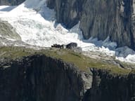 Rifugio Franco MonzinoFranco Monzino's gift to the Courmayeur Guides in 1965, between Freney and Brouillard
- Bivacco Adolfo Hess1925 bivouac hut dedicated to Adolfo Hess, the engineer who devised fixed bivouac huts
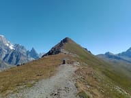 Col des ChavannesIt looks out over the upper Val Veny: Aiguille des Glaciers, Trélatête and Pyramides Calcaires