 The Aosta Trip
Col de la Seigne
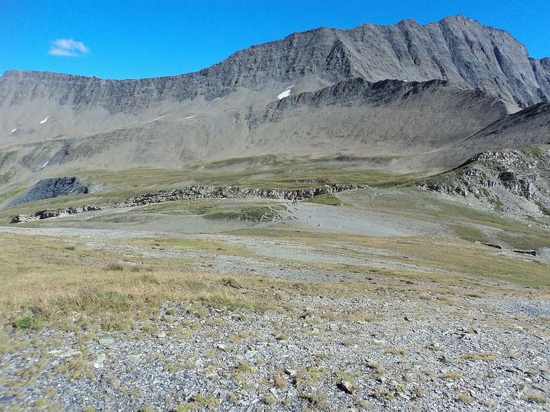
Gateway into Italy for the Tour du Mont Blanc and the Ultra-Trail du Mont-Blanc race
The pass is on the border between Val Veny and the vallée des Glaciers, in Savoy, between the Aiguille des Glaciers and the montagne de la Seigne. To the east you look down the whole of Val Veny to the Italian side of Mont Blanc, with the Aiguille Noire de Peuterey. Just below the pass, on the Italian side, is the Casermetta: inside there are a scale model of the massif and panels about the area.

Trails
- from Rifugio Elisabetta (2,192 m) · ↑ 364 m · 1 h 21 min out, 57 min back · 3.4 km · E Hike · path TMB - 12 - AV2 · July–September
Trails: data provided by the Struttura Forestazione e Sentieristica of the Aosta Valley Autonomous Region.
History
The pass links Val Veny with the vallée des Chapieux and was already in use in ancient times. Near the Combal and Miage lakes are the ruins of seventeenth- and eighteenth-century fortifications, built against the French troops coming down from the pass. The Casermetta below the pass was restored under the European Interreg Alcotra programme and is now an environmental education centre of the Espace Mont-Blanc.
Nearby
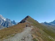 Col des ChavannesIt looks out over the upper Val Veny: Aiguille des Glaciers, Trélatête and Pyramides Calcaires
- Bivacco Adolfo Hess1925 bivouac hut dedicated to Adolfo Hess, the engineer who devised fixed bivouac huts
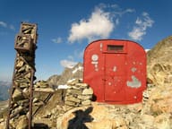 Bivacco Gino RainettoFlown in by helicopter in 1963 for the Giovane Montagna's 50th anniversary, facing Mont Blanc
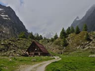 Cabane du CombalSeven en-suite rooms between the Combal lake and the Miage lake, reachable only on foot
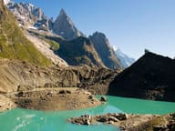 Lago del MiageA lake in contact with the glacier: blocks of ice break off its front into the water
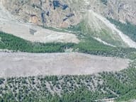 Lago Verde (Jardin du Miage)Lake in the Jardin du Miage woodland, enclosed between the two terminal tongues of the glacier