 The Aosta Trip
Marais Nature Reserve
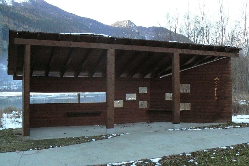
Wetland formed behind a hydroelectric weir on the Dora, a reserve since 1992
Between the SS 26 and the Dora, below Morgex, a stretch of river slowed by a hydroelectric weir has formed a sheet of water with reed beds and woods of grey alder, willow and poplar. A single flat path, partly on a chestnut boardwalk through the wood, leads to the observation hides, with panels and viewing slits at child and adult height. Mallard, moorhen and water rail nest here; in spring and autumn grey herons and purple herons, tufted ducks, pochards and shovelers stop over, and you can see the kingfisher.

Visiting
ACCESS: coming from Aosta on the SS 26, at the roundabout at the entrance to Morgex take the road for Chabodey; after about 200 m, before the motorway flyover, the road on the right leads to a large car park, from where the road becomes a cycle path. Disabled parking spaces. By bike you get there on the Morgex (Pautex) - La Salle (Le Pont) cycle and pedestrian path, 2.7 km of asphalt along the Dora. Open all year, free entry; the best periods are the spring and autumn migrations. ROUTE: a single path, not a loop, a little over half an hour: about 250 m in brushed concrete and 220 m of chestnut boardwalk in the wood, observation hides with panels; maximum gradient 8%, minimum width 90 cm, suitable for wheelchairs except for the grassy stretches that get waterlogged in some seasons. Marais Scientific and Natural History Research Centre, Chez Borgne hamlet, La Salle, tel. 0165 862500 (2026 data).
History
The Marais is a stretch of the Dora Baltea between Morgex and La Salle, at about 900 m, with its alluvial plain. The hydroelectric weir on a section of the river has slowed the water and created a sheet of water with reed beds, wet meadows and riverside woodland: grey alder, white willow, black poplar. Habitats like this were common along the Dora; land reclamation and embankments have reduced them to very little, and this one has remained among the few.
On 13 February 1992 the President of the Regional Government established it as a nature reserve by decree no. 156, to protect the species linked to water: mallard, moorhen and water rail, which nest here, and grey heron, purple heron, tufted duck, pochard and shoveler on passage. The reserve lies in an inhabited and worked area: the SS 26 marks its edge, and next to it aggregates are quarried and processed.
In 1999 a regional law, no. 47, launched an enhancement project signed with the municipalities of La Salle and Morgex: protection of the reserve from outside disturbance, renaturalisation of degraded areas, improvement of habitats, a visitor route accessible also to disabled people with a boardwalk in the wood, hides and signs (€590,000, €160,000 of it from the Ministry of the Environment), and a scientific and natural history research centre. The work was finished in May 2010 and the centre was built in the same year, for €3.56 million plus furnishings.
The project planned much more: an interactive museum, a recreational and educational centre, a wildlife rescue centre, cycle routes and a guest house, for 90–100 thousand visitors a year. In 2013 the Region cancelled the works still to be done, including the ecomuseum, the ponds and the educational centre. The research centre was given to the Efisio Noussan Regional Museum of Natural Sciences, whose functions passed on 1 July 2015 to the regional protected areas department.
Nearby
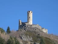 Châtelard CastleThe circular tower, 18 metres high, is almost intact although the castle is a ruin
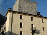 Tour de l'ArchetWalls 2.60 metres thick: the tower, 9 metres a side, now houses a comics library
- Arpy Cross-Country TrailsThe ‘Franco Revel’ trail at Arpy is FISI-homologated for national races until 2028
 Testa d'ArpyFrom the viewpoint at 2,015 m you can see Mont Blanc and Courmayeur, 20 minutes from the pass
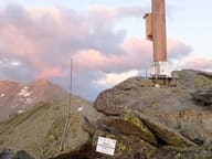 Becca PouegnentaChoristers' Cross brought by helicopter in 2002, rebuilt in 2024 after a lightning strike
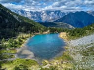 Lago d'ArpyWalking round the lake you can see the Grandes Jorasses reflected in the water