 The Aosta Trip
Valsavarenche Cross-Country Trails
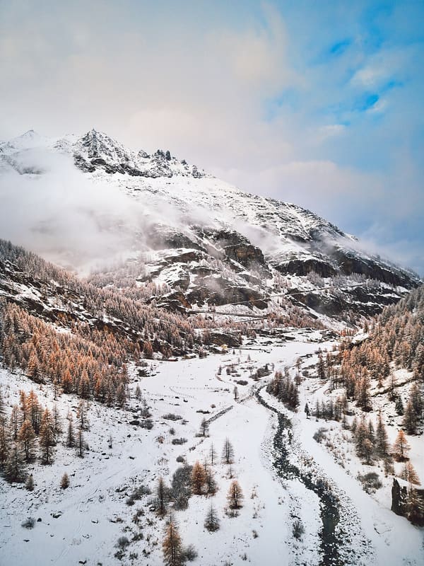
At Pont, the last village in the valley, a 5.5 km loop runs at an altitude of 2,000 metres
The trails of the main village start from the forecourt of the town hall and Park Visitor Centre at Dégioz (1,540 m) and follow the Savara stream: the Lo Tor di Plan trail has loops of 4, 5 and 7.5 km. At Pont (2,000 m), the last village in the valley, there are loops from 2.6 to 5.5 km, away from the roads. In all, about 13 km of trails.
Both trails lie within Gran Paradiso National Park. Valsavarenche municipality runs them. Lo Tor di Plan and Pont Bruil have national FISI homologation until 2030.

Visiting
Winter season (2026/27 dates not yet published). 2025/26: day pass €7, concession €3.50; local season pass €70, and the regional season pass is also valid. Tickets at the tobacconist's and at the town hall in Dégioz (during office hours), at the Chalet Pisteurs in Pont and online at scinordicovalledaosta.it. Hire and ski school.
Pistes
Lo Tor di Plan, Dégioz — At 1,540 m, along the Savara stream towards the small villages of the valley, an easy 4 km loop and two of medium difficulty, of 5 and 7.5 km. The 5 km course is homologated for national races until 2030.
Pont, 2,000 m — Three loops: 2.6 km easy, 4.25 km medium difficulty and 5.5 km difficult. On the Pont Bruil trail a 5 km course is homologated for national races until 2030.
Nearby
- Gran Paradiso – ‘Acqua e biodiversità’ Centre, the Rovenaud ottersThree European otters in a 14,000 m² centre among the springs, guided tours only
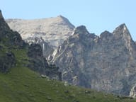 Punta BioulaOn the summit a statue of the Madonna; Victor Emmanuel II's hunting road climbed to it
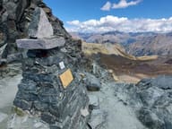 Col LosonThe highest point of the Aosta Valley Alte Vie, on a royal hunting path
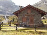 Bivacco Mario GontierA 1985 bivouac hut facing the north face of the Grivola, dedicated to Mario Gontier
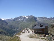 Rifugio Federico ChabodAt the foot of the north-west face of the Gran Paradiso, built at the wish of the Valsavarenche guides
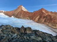 Bivacco Luciano GrattonAt the Colle del Pousset, at 3,198 m, facing the south side of the Grivola