 The Aosta Trip
Col du Mont
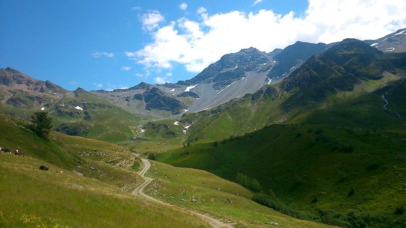
On 26 January 1945 an avalanche below here swept away 33 Cogne company workers and two Alpini
The pass is on the border with France: on one side you can see much of the Valgrisenche, on the other the Tarentaise. At the top there is a cross with an orientation plate and a small telescope. Around it are the ruins of small barracks and the posts of the barbed wire. On the way up you pass the walls of a Second World War barracks and you can see the Testa del Rutor.

Trails
- from Bivio strada per Grand Alpe (1,933 m) · ↑ 706 m · 2 h 23 min out, 1 h 34 min back · 5 km · E Hike · path 13 · July–August
- from Surrier (1,802 m) · ↑ 841 m · 2 h 47 min out, 1 h 50 min back · 5.9 km · E Hike · path 13 - HRG · July–August
Trails: data provided by the Struttura Forestazione e Sentieristica of the Aosta Valley Autonomous Region.
History
For centuries the pass was a route for trade and armies between Valgrisenche and the Tarentaise, defended by fortifications from the early eighteenth century and the late nineteenth century. On 26 January 1945 an avalanche that broke away from the Ormelune swept away the column of Cogne company workers who were supplying the soldiers at the pass: 33 workers and two Alpini died. A memorial stone with a cross commemorates them at the Grand'Alpe, along the path. Every July the people of Valgrisenche and Sainte-Foy-Tarentaise meet at the pass for the Rencontre, with Mass and a social gathering.
Nearby
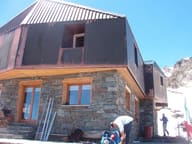 Rifugio degli AngeliRebuilt by volunteers carrying the loads on their backs over three summers, 2003 to 2005
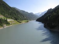 Lago di BeauregardThe ruins of Fornet, submerged in the 1950s, have re-emerged from the lowered lake
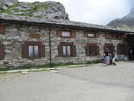 Rifugio Chalet de l'ÉpéeYou climb through the Arolla wood, among larches over five hundred years old
- Lago di VuertBasin on the ridge above the Bezzi hut, facing the Plattes des Chamois glacier
- Laghi di Bella CombaTwo lakes at 2,374 m: in the second, a large snail-shaped boulder in the middle
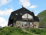 Rifugio Mario BezziBuilt in 1925–27 as a twin of the Benevolo hut, with just one metre of difference in altitude