 The Aosta Trip
Rifugio Aosta
Refuge Aoste
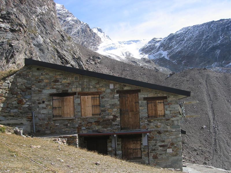
On a spur above the tongue of the Tza de Tzan glacier, at the head of the Valpelline
The hut stands on a spur east of the terminal tongue of the Tza de Tzan glacier, at the head of the Valpelline. It is the base for the Dent d'Hérens, the Tête de Valpelline, the Tête Blanche and the Mont Brulé. The glacier above the hut has retreated and crampons are no longer needed to get there. You can only book by phone and you pay in cash.

Visiting
From mid-June to mid-September; for a spring opening it is best to ask. 24 beds. From the Place Moulin dam (Bionaz, 1,980–2,000 m): on foot, 1 hour on a dirt road along the lake to Prarayer, then a path with a short section equipped with chains (4h30, path 9 to Prarayer, then 10 / 10A, EEA (fixed ropes)). From Rifugio Prarayer (2,002 m): on foot (2h50, path 10A, EEA). Phone: +39 0165 730006 (hut) / +39 345 8322077 (hut keeper).
Trails
- from Rifugio Prarayer (2,002 m) · ↑ 797 m · 2 h 49 min out, 1 h 57 min back · 6.9 km · EEA Equipped · path 10A · July–September
Trails: data provided by the Struttura Forestazione e Sentieristica of the Aosta Valley Autonomous Region.
History
The first hut was built at the beginning of the twentieth century and an avalanche destroyed it in 1951. Rebuilt, it was inaugurated again in 1956. In 1990 it lost its roof and the present structure was reopened in 1995. The hut belongs to the Aosta section of the CAI.
Nearby
 Rifugio Alessandro Nacamuli al Col CollonRebuilt in 1994 for Alessandro Nacamuli, who died in 1986 on an expedition in Pakistan
 Rifugio PrarayerAt the far end of the Place Moulin lake: 5 km of almost flat road, you can also take a pushchair
 Breuil-Cervinia Cross-Country TrailThe Breuil-Cervinia loop runs over the golf fairways, with the Matterhorn behind it
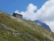 Rifugio Oriondé Duca degli AbruzziLast stop before the Italian route up the Matterhorn; en-suite rooms since 2012
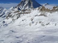 Breuil-Cervinia, Cervino Ski ParadiseThe Ventina run: 11 km from Plateau Rosà at 3,480 m to the village at 2,050 m
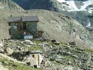 Rifugio Perucca VuillermozBy the Dragone lake, dedicated to two mountaineers who died on the Lyskamm in 1985